Base Map
The Base Map used by DigFindR is essentially the same issued originally with a few modifications.
- The old lease area extents have been added into a new Layer called "ZONES" as seen here...
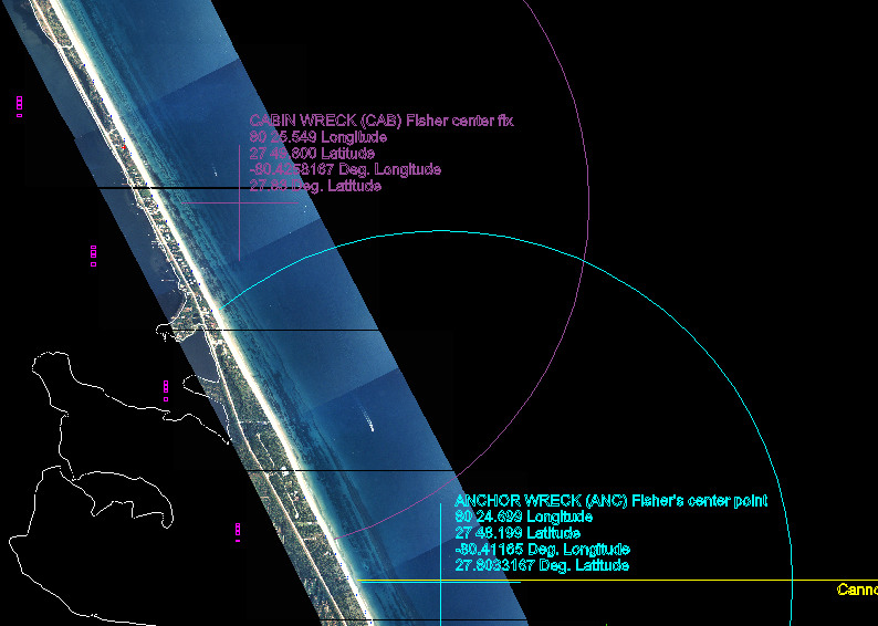
- The shoreline has been extended to include the Unknown Wreck and the Power Plant Wreck as seen next...
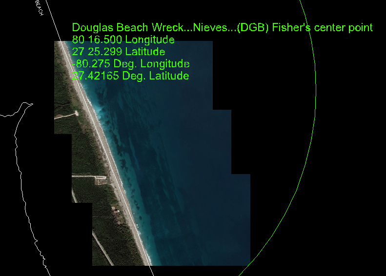
- Some recent aerial photography has been added to the Douglas Beach Wreck area and the Power Plant Wreck area as seen next...