DigFindR Symbols
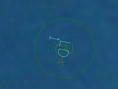
The original Fleet maps use layers, colors, and two-character text labels to symbolize excavations. All excavations are located by way of circles, each being approximately 22 feet in diameter indicating the approximate vicinity where the excavation took place. The two-character text labels are centered within the circle and many of them are appended with a numeric character indicating the number of any given artifact type found in that excavation. For example:

In the illustration above, we see a magenta circle with the notation of "CA" and the number "2", meaning there are 2 cannons found somewhere within this circle. Note the characters are tilted, as are those of surrounding characters. This magenta circle is found on the CA layer of the drawing and all circles on the CA layer are magenta, and all have the same two-character "CA" string along with the number. Note that the EH, or "Empty Holes" are white and usually do not have a number assigned. Also note the green "IR" (iron) circles partially obstructed by "EH" circles, making it difficult to read the underlying IR data.
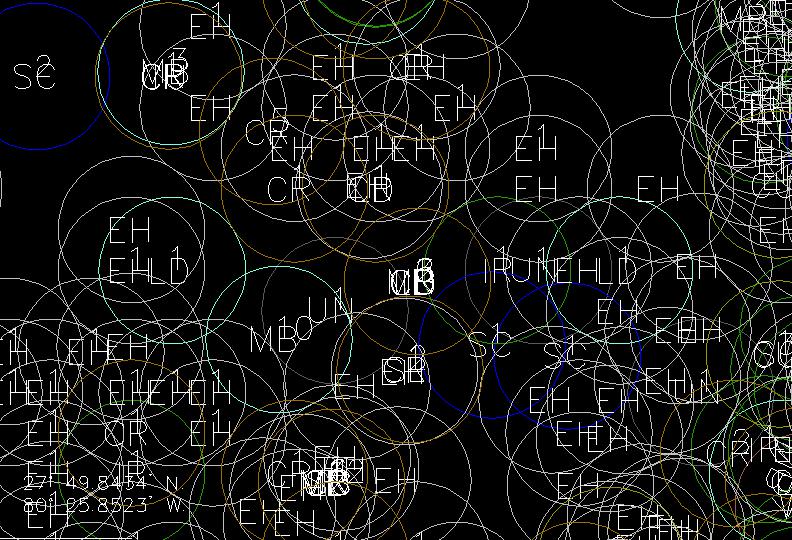
In those instances where numerous artifact types were recovered in the same excavation, the circles are contiguous as seen below where LD, CU and IR were all located in the same excavation. The top-most circle is green, for IR. Subsequently, if you were examining the map for CU only, you might miss this particular excavation unless you had all other layers hidden from view except for the CU layer. It's to your advantage to see ALL types of artifacts recovered in a given area simultaneously, and with that caveat in mind, DigFindR uses an assortment of of symbols rather than relying on just a circle alone.
Improved Fix Symbol Scope
The original 22-foot diameter circles imply that an area 22-feet in diameter was exposed and investigated. This might be the case for vessels like the Dauntless and the Magruder, however the vast majority of excavations reported were done by much smaller boats, with much smaller blowers. That being the case, the implication of a 22-foot diameter hole is unrealistic for almost all of the excavations. The exceptions would be for those vessels using dual-blowers, such as the Endeavor.
Contractors are required to use GPS fixes on their log sheets to report the center of their excavations, and those fixes are obliged to be in decimal minute notation, with a minimum of 3-decimal places to the minute of distance. Using 3-decimal place minute notation, you can only be at a point within 6.1 feet of the actual GPS center-point location. Therefore, you have to accept the fact that you are somewhere in a circle with a 12.2 foot diameter. The original 22-foot diameter target symbols are too large on average, giving you the impression that all the dirt has been turned over, when, in fact, that may not be the case at all, leaving more area to be excavated in reality.
In the illustrations below we see the original scheme versus the new scheme found in DigFindR, using the identical ground from the same map. In the new scheme, the character strings are reduced in size, the symbols are approximated to 12-foot diameter, and there a variety of excavation symbols in use, making it easier to see multiple-artifact recoveries from the same location. Most important is the void area now seen to be unexplored using the new scheme.

The original design of the layers by name and character value has been retained, but the symbol types, colors and excavation extents are modified for DigFindR. See the DigFindR Map Key subject.