Lat and Long
The current cursor position in the Map Window will display its Latitude and Longitude here (Y & X coordinate value in the current coordinate system being used). As the cursor is moved, the coordinates will change dynamically.
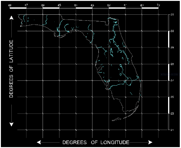
The Latitude represents the Y value, and the Longitude represents the X value of any given point on the earth's surface. Maritime navigators have long recorded Latitude (Y) before Longitude (X), which flies in the face of mathematical custom wherein X is always expressed before Y. Be wary of this reversal when dealing with data originating outside of the maritime realm.